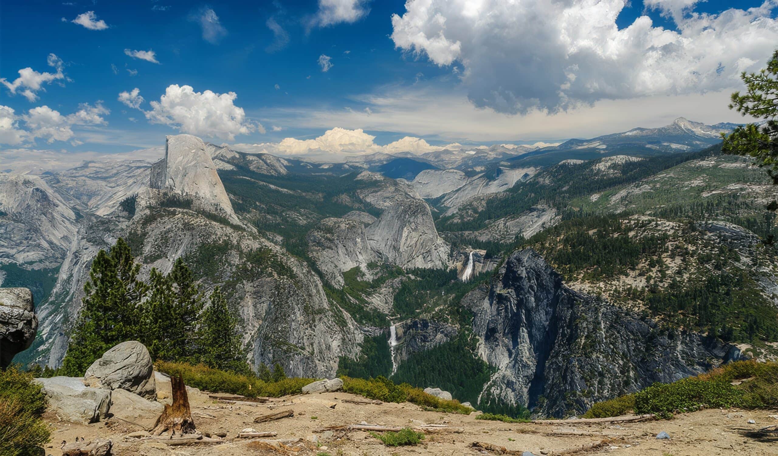
Washburn Point
Washburn Point
Yosemite Valley
Washburn Point, Glacier Point Road, Yosemite Village, CA, USA
Visit Website
Overview
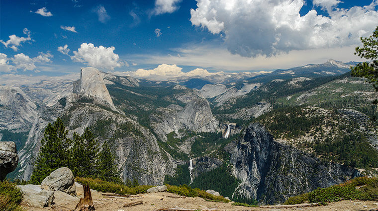
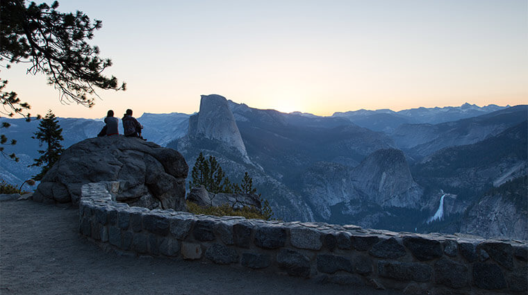
Just up the road from Glacier Point, Washburn Point provides a slightly different angle on the famed view of Half Dome. Half Dome still dominates the skyline from this overlook and is an easy stop with a stunning view. Opposite Half Dome’s steep face, Mount Broderick and Liberty Cap stand watch over Vernal and Nevada Falls. These are the two waterfalls that many people see up close on the popular Mist Trail. From this perspective, it is easy to see the steps of the “giant staircase” that forms these two waterfalls.
Keep turning to the right for a view of the top of Illilouette Fall, and Mount Starr-King, all set against the backdrop of the Clark Range and the mountains of the High Sierra.
Washburn Point was named after three brothers from Vermont who moved to California in the mid-1800s and were responsible for building the first road from Wawona to Yosemite Valley as well as building and running a hotel in Wawona.
How to Get There:
The small turn-out and parking area for Washburn Point are on the way to Glacier Point, just ¾ of a mile from the end of Glacier Point Road.
The Glacier Point Road is open to vehicles seasonally typically from late May to October or November depending on weather conditions. Turn off the Wawona Road, the continuation of Highway 41 inside the park, at Chinquapin – an intersection marked with white buildings and restroom facilities.
During the winter, the Glacier Point Road beyond Badger Pass is closed to vehicles and opens to cross-country skiers and snowshoers. If you park at Badger Pass, it is approximately 10.5 miles (17 km) one-way to ski to Washburn Point.
