There’s no better way to get up close and experience Yosemite Mariposa County and the Sierra wilderness than by setting out on foot and hiking. Hiking is one of the top things to do in Yosemite, and when you slow down and commune with nature, you see things you might otherwise miss. Things like waterfalls, wildflowers and wildlife that you can find at any turn on Yosemite hiking trails.
Wherever you start, chances are you’re close to a number of great Yosemite hiking trails. Discover the best hikes in Yosemite from Half Dome hikes past Vernal Fall and Nevada Fall, to Yosemite hikes to lakes or through the ancient Mariposa Grove and more, there are so many trails in Yosemite National Park and Mariposa County, and so many excellent guide books and maps describing them that you’ll never be at a loss for a great Yosemite hike. And don’t forget to book an unforgettable place to stay when the sun sets and it’s time to pack it up and refresh yourself for another day of hiking in Yosemite. Because nothing beats the comfort of a warm fire when the day’s finished.
And don’t forget there are plenty of great hikes outside of Yosemite as well for you to explore.
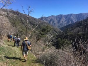
- William’s pEakThe William’s Peak hike is located in Northwest Mariposa County near the town of Bear Valley. The hike, a 2.6-mile out and back trail with 721 feet of elevation gain, […]Read More
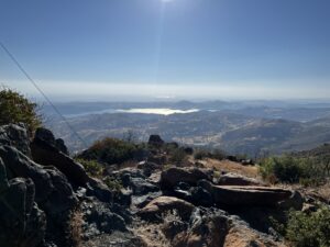
- Wawona Meadow LoopStroll along the Wawona Meadow Loop Trail with your leashed dogs for a peaceful amble through spring wildflowers and trees and bushes filled with birdsong.Read More
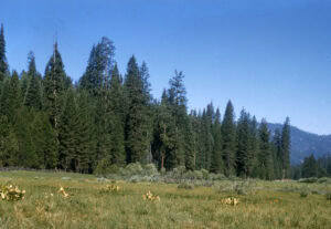
- Mt DanaYosemite's Mt Dana is located on the eastern edge of Yosemite National Park. Summiting this mountain is a difficult hike with more than 3000 feet (945 m) of elevation gain.Read More
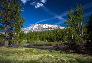
- Good Trip AdventuresGood Trip Adventures is an inclusive and eco-friendly tour operator and guiding company that goes beyond the guide books to give you a national park travel experience you can’t get […]Read More
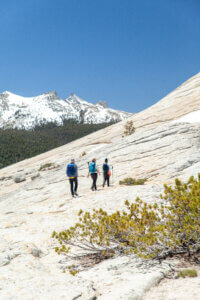
- Illilouette FallDistance: 4 miles (6.5 km) round-trip (Consider adding a half mile out-and-back spur to Panorama Point for a total of 5 miles/8 km) Elevation: 1,400 feet (420 m) Note: you […]Read More
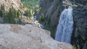
- Foresta FallDistance: 1.8 miles (2.9 km) out and back Elevation: 300 feet (91 m) Difficulty: Relatively easy, though since it starts downhill, be sure to save some energy for the return […]Read More
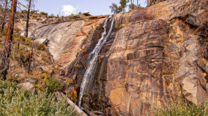
- Southern Yosemite Mountain GuidesSYMG was started in 1991 by three friends offering hiking trips into California’s mountains in hopes of more closely meshing lifestyle with work. The combination proved successful and SYMG has […]Read More

- Tenaya Lake TrailIf you can make it up to Yosemite’s high country, you simply must stop to see Tenaya Lake, located just off of Tioga Road (Highway 120 East). Do yourself a […]Read More
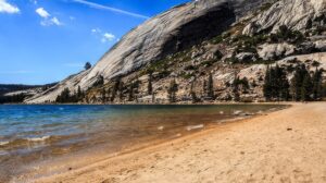
- Turtleback DomeIf you’re looking for a short hike to a quiet spot with a view of Yosemite Valley, Turtleback Dome could be your place. The hike starts 2.1 miles south of […]Read More
- Skelton Creek TrailNatural Features: The trail winds alongside a bubbling brook while towering pines, oaks and deciduous broad-leafed trees cast shade. The brook spills into Skelton Creek, and then downstream to Devil’s […]Read More
