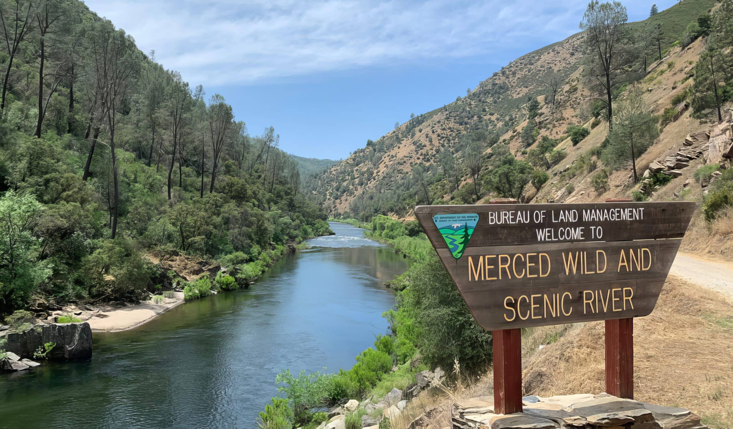
Merced River – Main Fork
Merced River – Main Fork
Central Mariposa County
Briceburg, CA, United States
(209) 379-9414
Launch Virtual Tour
Overview
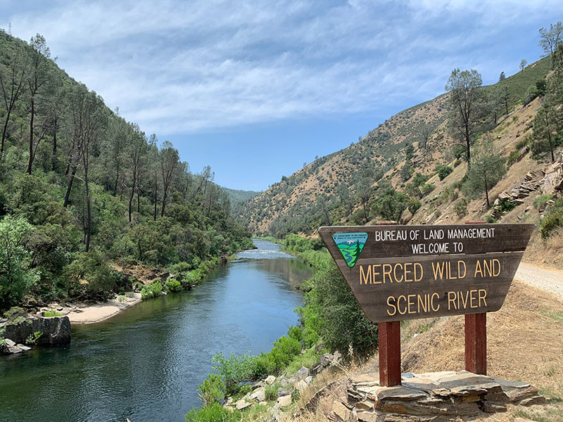
The main fork of the Merced River starts high in the mountain ranges in Yosemite National Park, and flows through Yosemite Valley. The South Fork of the Merced River takes an alternate track from it’s source in the High Sierra and flows past Wawona in the southern part of Yosemite National Park and Hite Cove before joining the main fork west of Yosemite downstream of El Portal.
The main fork of the Merced River is a great place for swimming, hiking, fishing, rafting, gold-panning, camping and general recreation during the summer months. It’s low elevation also makes it a great place for a day hike in the winter.
There is day use and picnicking along Highway 140 and Briceburg, with overnight camping or fires only at designated campsites.
The South Fork of the Merced River offers many popular swimming holes in Wawona, and expert kayaking further downcanyon.
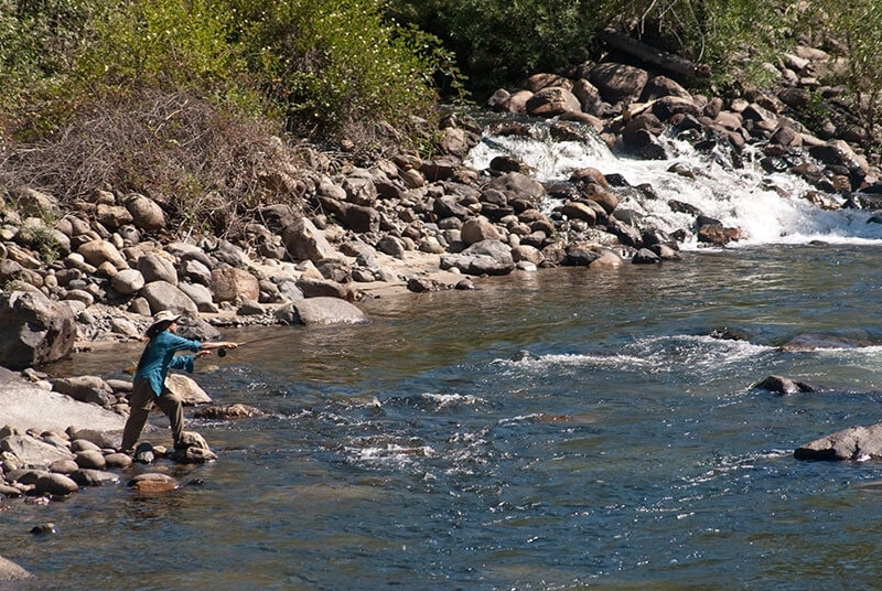
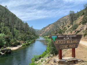
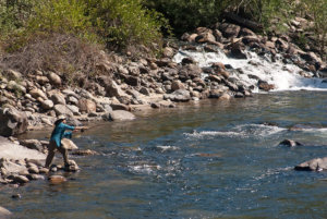
The Wild and Scenic River status adds a few extra conditions to fishing—for all species, only fish over 12 inches or larger may be taken and only on artificial lures with barbless hooks. The practice of catch and release is recommended at all times so our future young generations may continue to enjoy this stretch of the river. Please check the most current fishing regulations at www.dfg.ca.gov.
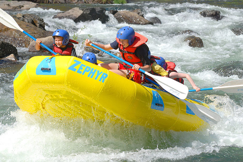
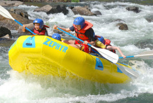
Join a whitewater rafting expedition to explore the beautiful Merced Canyon and enjoy a few thrills along the way! Check out our rafting section for more information. You can also bring your own flotation device and float down sections of the river but due to the rapids this is not recommended until the river rapids have lessened to a safe level, usually around late June and the temperature is good for swimming. There are many pullouts along State Highway 140 in the river canyon where you can park and float down.
Overnight Camping Dirt Flat, Dry Gulch, McCabe Flat, Willow Placer and Railroad Flat are located on the north side of the main fork and you can check the location of these campsites on the Interactive Map. Day Use campsites for picnicking can be found at Indian Flat and Redbud. These sites have toilets, tables, barbecue grills as well as paved roadways, and are located right next to the beautiful river.
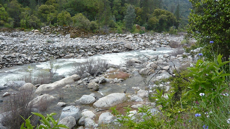
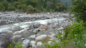
During the winter and early spring, the water in the Merced River is ice cold, fast, and dangerous, but in the summer once most of the snow has melted, the character of the river mellows and it becomes an ideal place for a refreshing swim. Find the best places for a dip, in our guide to some of the best swimming spots in Yosemite Mariposa County on the Merced River and beyond.
Prefer to float instead of swim? If you don’t want to schlep your own raft or inner tube from home, pick up a raft rental at Curry Village. You can put in at Curry Village and allow yourself to drift downstream through the heart of Yosemite Valley. Then catch the convenient rafting return shuttle at Sentinel Beach to return to your starting point.
Merced River History
Many Native American tribes have lived on the Merced River including the Miwok (consisting of Plains Miwok and Sierra Miwok), Paiute, and Ahwahneechee. The Plains Miwok settled in the lowlands along the lower Merced River. In the early 19th century, military expeditions sent by Spanish colonists from coastal California traveled into the Central Valley. On one of these trips, headed by lieutenant Gabriel Moraga, the colonists arrived on the south bank of the Merced River thirsty and low on provisions. They named the river Rio de Nuestra Señora de la Merced (River of Our Lady of Mercy) because it provided much needed water.
You can still see some evidence on the banks of the Merced River of the Yosemite Valley Railroad, originally established with the discovery of mineral deposits in Yosemite Valley and Merced Canyon, and continuing to function through the early 20th century carrying tourists to Yosemite Valley along the Merced River. El Portal Road, constructed through Merced Canyon in 1926, put an end to passenger service on the railway, but operations continued until the mid-1940s, when major flooding occurred, destroying sections of the railroad.
