Four Mile Trail
Four Mile Trail
Yosemite Valley
Yosemite Valley, CA, United States
Overview
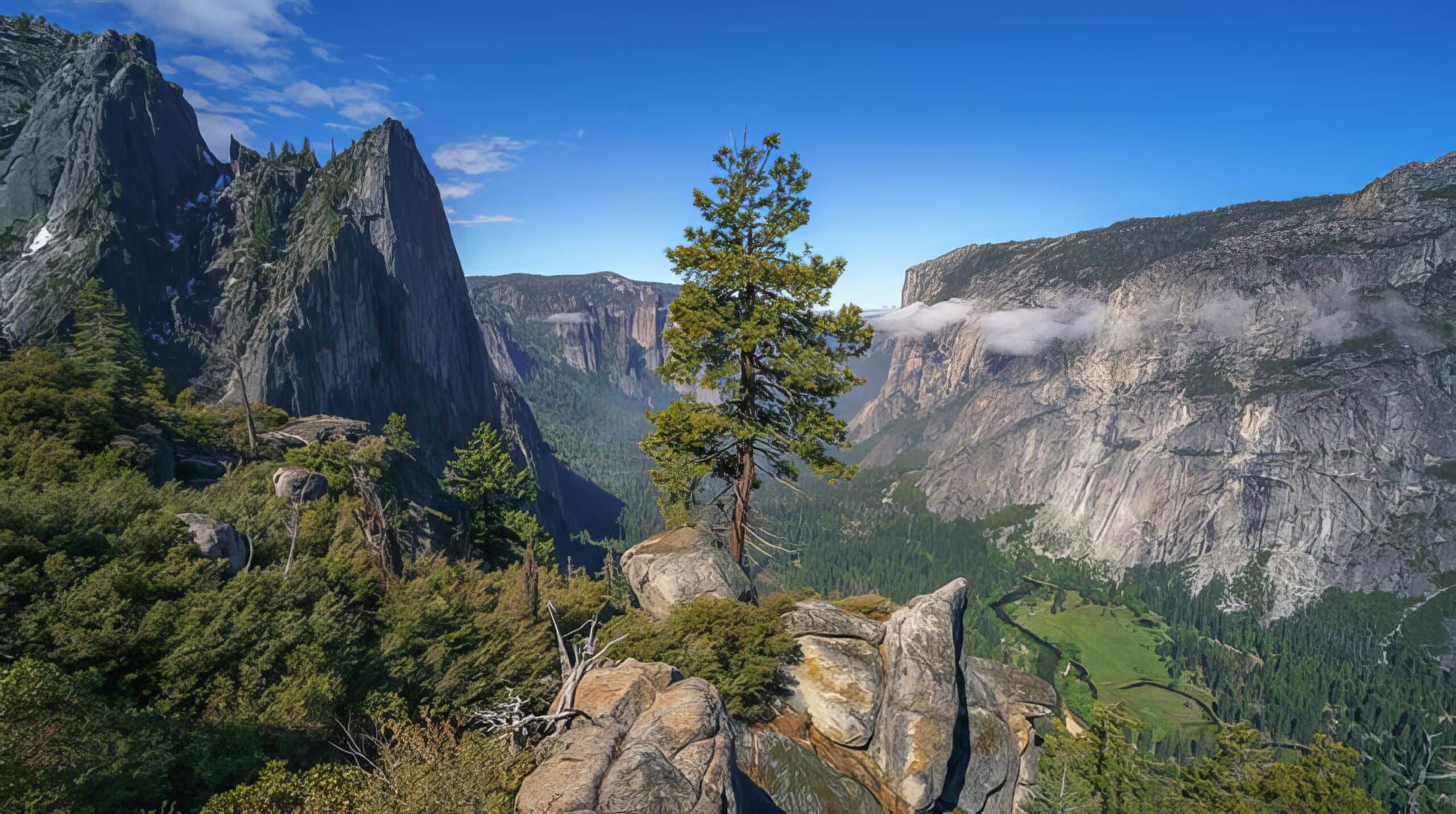
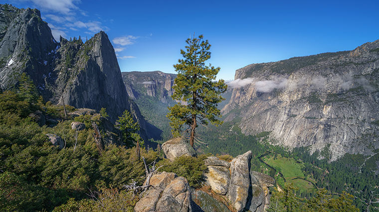
This trail begins near the base of Sentinel Rock and climbs to the top of Yosemite Valley at Glacier Point. The trail maintains a continuous steep grade, following the path of an old toll trail that was completed in 1872. The trail has changed a bit over the years; it is now closer to five miles than four (and of course there is no more toll).
Spectacular views of Yosemite Valley, El Capitan, Yosemite Falls, and, eventually, Half Dome await those willing to tackle this strenuous trail. Don’t skip the side trip to enjoy the view of Yosemite Valley from Union Point, located a bit over two-thirds of the way up.
The Four Mile Trail ends at Glacier Point, where restrooms, parking, and a snack stand (summer only) are available. You can choose to hike back to Yosemite Valley by reversing your route or by continuing on the Panorama Trail, which brings you to the Happy Isles Trailhead in another 8.5 miles (13.7 km).
If you want to hike one way, make sure you have another member of your party available to drop you off or pick you up at the other end. There is no free shuttle system between Glacier Point and Yosemite Valley. The park concessionaire runs three daily guided bus tours that include a stop at Glacier Point (seasonal late spring and summer only)—you can purchase a tour bus ticket from any tour desk to ride the bus to Glacier Point (hiking back to the Valley). You should purchase this ticket in advance to guarantee your space, but advance tickets are only available if riding the bus from Yosemite Valley to Glacier Point. There is no way to guarantee space riding from Glacier Point to Yosemite Valley; tickets in this direction can only be purchased in cash from the bus driver if space is available.


