Any way you choose to travel to Yosemite National Park, you’ll be passing through scenic foothills and welcoming mountain towns. Getting to Yosemite is half the fun.
Finding the easiest way to get to Yosemite will depend on what direction you are coming from, what you are most excited to see, and which season you plan to visit in.
Learn more about how to get to Yosemite below, where you’ll find helpful links to travel tips, public transporation, and a overview map so that when you visit Yosemite, you’ll be prepared to make the most of your time.
directions to yosemite
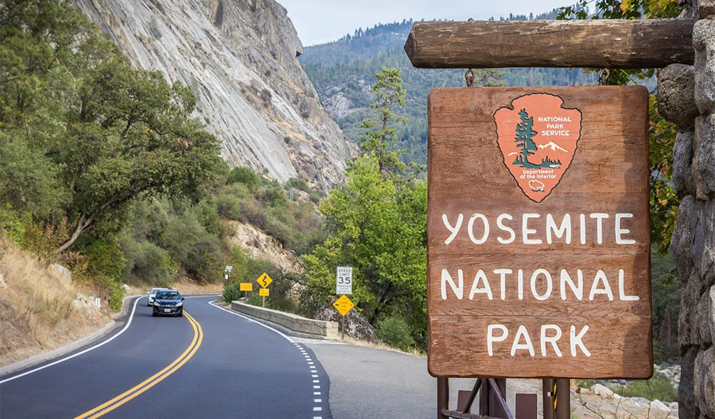
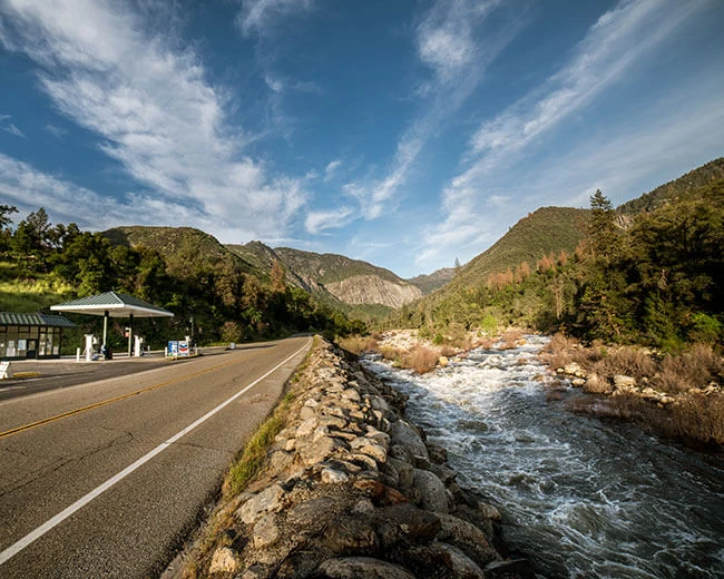
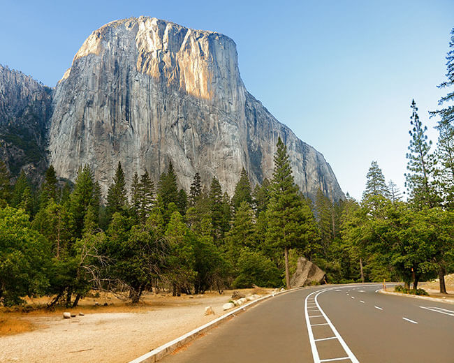
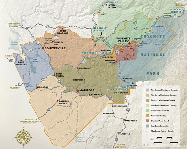
During the summer months, there are four entrances to Yosemite National Park. Highways 120 West, 140, 41 and 120 East/Tioga Road. Each entrance has its own unique character and special points of interest along the way.
Learn more about each of these scenic routes into Yosemite, and get some ideas for things to do along the way.
Note: In the winter when it snows Highway 120 East/Tioga Road closes, and requirements for tire chains become common along Highways 41 and 120 West.
Transportation To & Around Yosemite
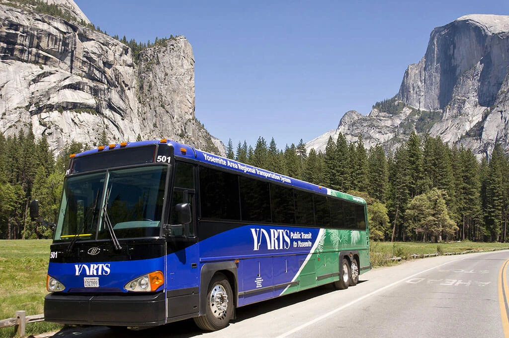
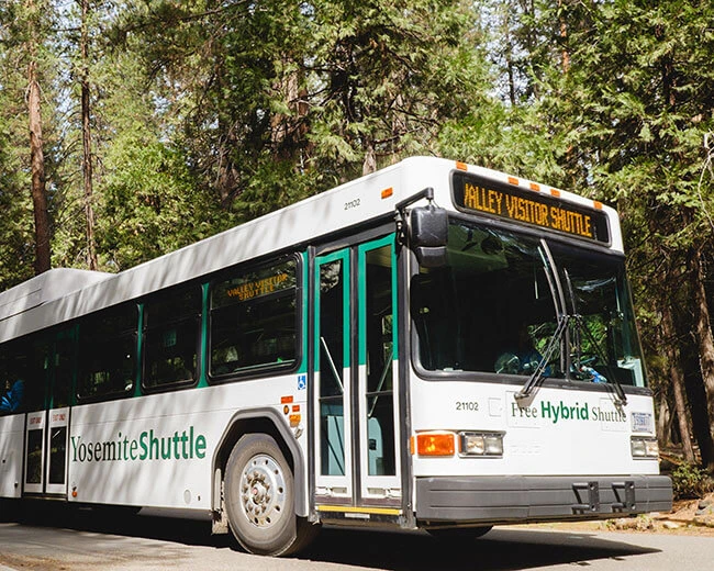
While many people choose to rent a car or drive their own vehicle into Yosemite National Park, there are also some superb public transportation options that leave everyone free to enjoy the scenery instead of focusing on the road.
During the summer, the Yosemite Area Regional Transportation System (YARTS bus service) provides clean and comfortable transportation from the surrounding communities into Yosemite. This makes it possible to connect AMTRAK trains, from most major California cities, to the free shuttles in Yosemite Valley, and other in-park transportation.
Other Resources
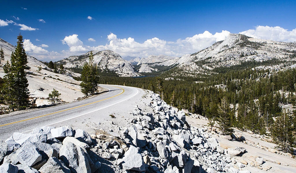
Find even more resources to help you plan getting to Yosemite, and discovering different parts of the park while you’re here.
- Learn about seasonal road conditions
- Get a regional overview with a map of Yosemite Mariposa County


