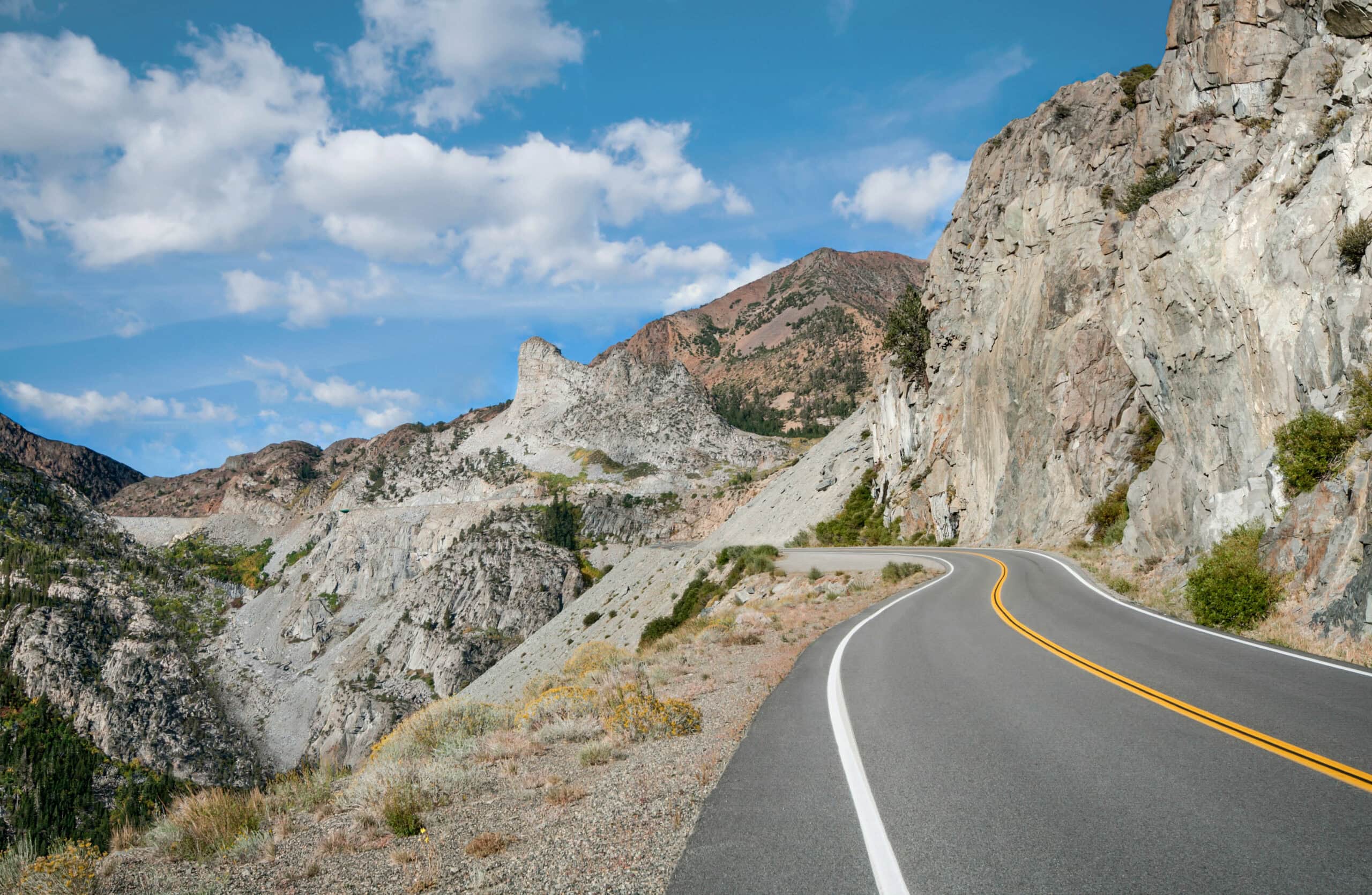
The “open road,” that enduring icon of the American West, invokes freedom, adventure, and horizon-pushing travel. The highways and byways of Yosemite Mariposa County exemplify these themes with every curving country road, riverside picnic area, scenic vista and fresh fruit stand along the way.
Mariposa County is a broad landscape laced with roads less traveled. With its atlas of options, taking time to explore what’s outside of Yosemite National Park is always worth the drive. Here are four fabulous journeys, all starting from historic downtown Mariposa. Sunroof open, playlist on, water bottles iced up – you’re going to love these scenic drives.
Oso Dorado Loop
Southern Mariposa County is a rambling realm where the Great California Central Valley greets the Southern Sierra in undulating waves of golden foothills. Roll down your windows – if you can hear the soft steel-belted hum of your tires arcing into the curves, you’ve reached the right touring speed.
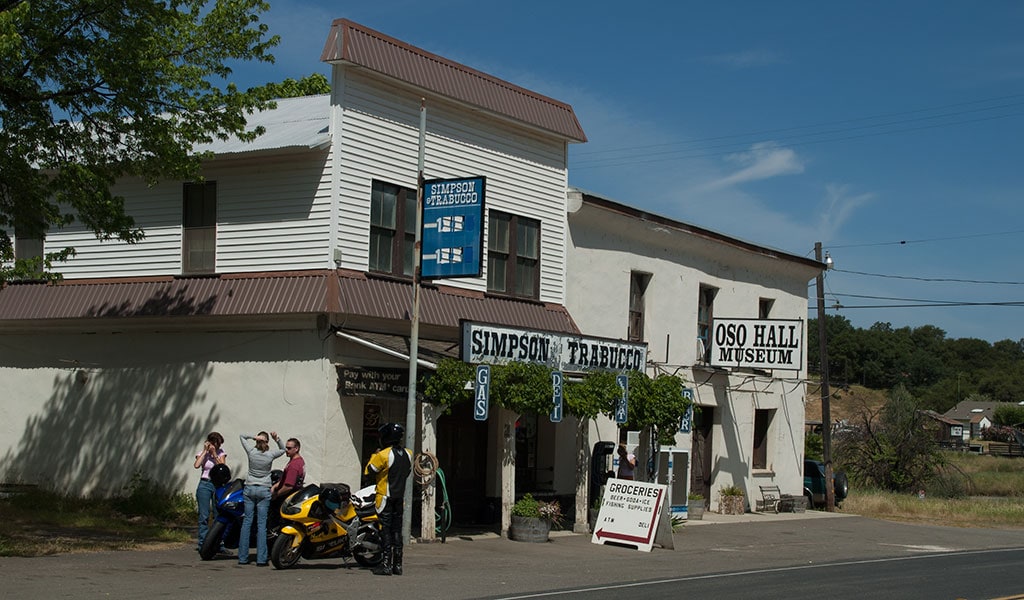
Starting in Mariposa, drive out of town north on Highway 49 for 11 miles until you reach the history-rich locale of Bear Valley, original site of Colonel John C. Fremont’s mining empire. One of California’s most notable explorer/entrepreneurs, Fremont arrived after the conclusion of the Bear Flag Revolt, bought the 44,000-acre parcel of Rancho Las Mariposas, and renamed it Bear Valley. During the 1850s, the local population swelled to 3,000 as Fremont’s mines struck gold. Look for the Bear Valley Historical Marker on Highway 49, Fremont’s Oso Hall Museum, and original buildings from the mining heyday including the long closed, but photo worthy BonTon Saloon, Trabucco Store and Odd Fellows Hall.
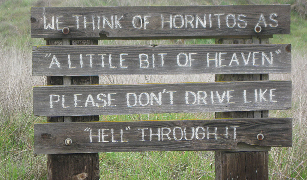
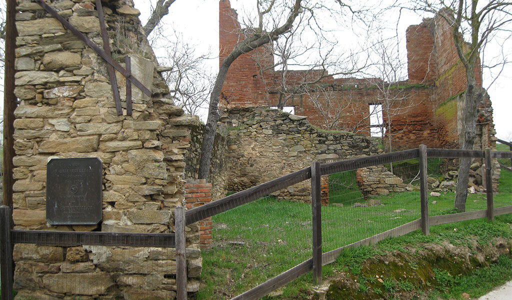
The road from Bear Valley to Hornitos takes a winding descent through a splendid succession of Sierra foothill ridges. It’s about 15 miles from Bear Valley to historic Hornitos. During the Gold Rush, this was one of the wildest spots in California. Joaquin Murrieta, the infamous outlaw who gained Robin Hood-like notoriety, is said to have frequented local saloons as he evaded the long arm of the law. Blink and you might miss Hornitos, so exit you’re your car for a slow walk and the best way to see the Hornitos Masonic Hall, Ghirardelli & Co. store ruins (yes, that Ghirardelli), Plaza Bar and St. Catherine Catholic Church make this town an essential detour.
After touring Hornitos continue on Hornitos Road southeast towards Catheys Valley. Catheys Valley is a big bowl of agricultural greatness with some of the richest grazing ranch land in the American West. In earlier times the Southern Miwuk wintered here in this big, blue-sky valley. Stately oak trees and wildflowers in season, the occasional cyclist and waves of grassland rise and fall along this gently rolling and thoroughly drivable stretch of road.
From Catheys Valley, turn left on Highway 140 and return to Mariposa to take full advantage of its myriad lodging and dining options. Freshen up, raise a glass and recount the golden adventures of the Oso Dorado Loop!
North County Loop
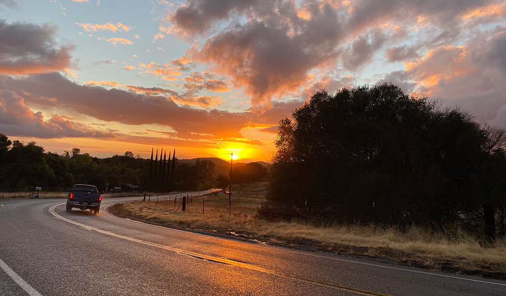
Love a scenic drive? Then we highly recommend the North County Loop. This Northern Mariposa County tour connects with the county’s hard-rock mining legacy via its charming characters, museums, curio shops, and more.
Starting in Mariposa, head north on Highway 49 towards Coulterville. The highway crosses the Merced River at Bagby, and for the next 10 miles carves a serpentine path through the rugged foothills that soar above the Merced River canyon. This is a wildly scenic road with incredible vistas, cool crags and blue-sky horizons. The ever-curving road demands a driver’s full engagement.
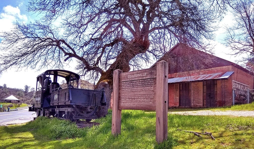
Our first stop is Coulterville, a historic town with a bohemian vibe. Park, stretch your legs and take the downtown walking tour to see why Coulterville has been named a California State Historic Site. Coulterville features more than 40 historical buildings including the Northern Mariposa County History Center, built on the ruins of the Coulterville Hotel. The Coulter Café and General Store is a great mid-loop refreshment outpost.
From Coulterville, head north on Highway 49 for approximately 11 miles and turn right on Highway 120. Keep your eyes open for the sign for Old Priest Grade and turn right. This stretch is a steep climb for passenger vehicles only, with several miles of switchbacks and narrow, hairpin turns. At the top of the grade, turn right (east) to Highway 120 and keep rolling to Buck Meadows for a much-deserved rest stop at the Buck Meadows Restaurant and Lodge, a great place to chow down and fuel up, whether that’s petrol or EV charging station.
Hop back in your car and reverse course west on 120 to Smith Station Road/J-132 to complete the North County Loop back to Coulterville through the Stanislaus National Forest. This stretch of Highway 132 is the John Muir Historic Route (J132) in honor of the sage of the Sierra, who took the same route into Yosemite over 100 years ago (on foot, of course). Talk about a journey! J132 tumbles down toward Greeley Hill, with impressive Central Valley and High Sierra vistas.
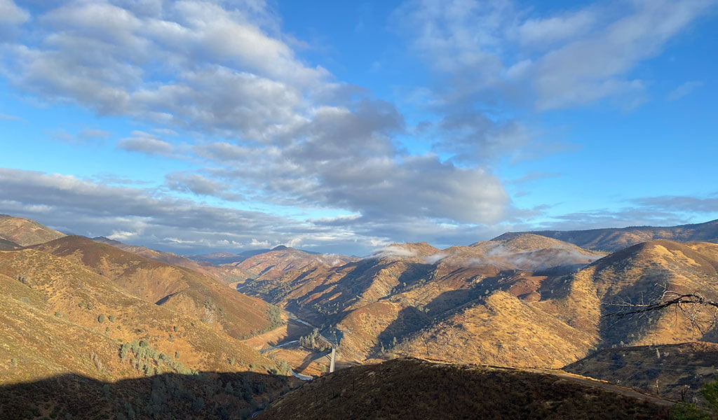
From Coulterville, return to Mariposa on Highway 49 to complete the North County Loop. Continue your historic discovery by visiting the Mariposa Museum & History Center, or perhaps shopping for gold at Mariposa’s many antique and consignment shops.
River Run
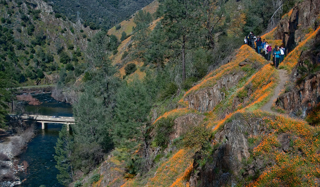
Photo: C. Phillips
The Wild & Scenic Merced River Canyon sets the stage for Highway 140’s River Run. Drive it in spring during peak snowmelt and be prepared to stop in pullouts to soak in the technicolor fields of California Poppies that sprawl in all directions up the canyon. Later in the summer, the lazy river flow is more inviting for a roadside stop ‘n swim. At any time, this scenic stretch of “All-Season” Highway 140 is worth the run.
Heading northeast out of Mariposa, Highway 140 climbs to the Midpines summit (elev. 2,966 ft.) before dropping down toward the picturesque suspension bridge at Briceburg, a hub for hiking trails and camping including the fun, 5.5-mile Merced River Trail.
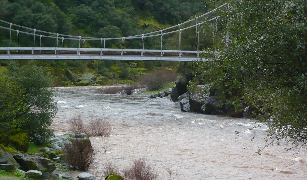
From Briceburg, the river canyon walls narrow with topographic drama, soaring above the road for the next 25 miles to El Portal. Take advantage of the numerous scenic turnouts and picnicking opportunities along the river. Day-use picnic areas such as Red Bud, Cranberry Flat, Indian Flat, and McClendon Beach are great highway respites with riverside picnic tables ready for spreads with a soundtrack of “water music.”
El Portal is literally “the portal” to Yosemite, the last small town before the Park’s Arch Rock entrance. El Portal also served as the terminus for the historic Yosemite Valley Railroad One of the highlights of the town is its display of equipment and buildings from the railroad’s fascinating days of yore.
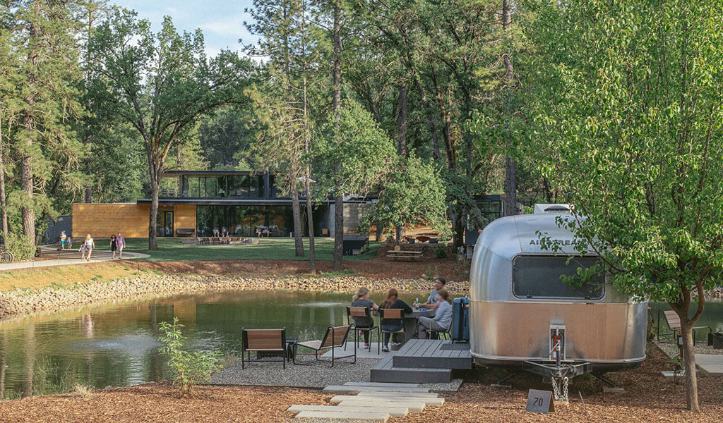
River Run offers a worth-the-drive collection of lodging options along the way including AutoCamp Yosemite and Yosemite Bug Rustic Mountain Resort with its full-service spa in Midpines, and Yosemite View Lodge, Yosemite Cedar Lodge, Indian Flat RV Campground and Red Bud Lodge in El Portal as well as a myriad of Vacation Rental options. Staying in Mariposa and looking for mid-drive dining? The June Bug Café in Midpines and The River Restaurant in El Portal are two tasty options.
Yosemite Mariposa County boasts some of the best road-tripping in the region. As always, drive safely, and be sure to check Yosemite road conditions before you leave.
To explore lodging options, things to do and places to eat, visit Yosemite.com, the #1 trip planning site for vacations to Yosemite National Park and historic Mariposa County. To stay up to date, follow @YosemiteNation on social media and subscribe to our newsletter, “The Wanderer”. Be sure to subscribe to our YouTube channel for great videos on the people and places of Yosemite Mariposa County.

