Explore beyond the Park
Yosemite Mariposa County covers more than 1,460 square miles of the western slope of the Sierra Nevada Mountains, rising from the edge of the California’s Central Valley through golden foothills and all the way up to the alpine heights of Yosemite National Park and the High Sierra.
When California was granted statehood in 1850, Mariposa County was easily the largest of the 27 original counties, covering 20% of the state from the Sierra Nevada to the Pacific Ocean! Eventually, Merced, Madera, Fresno, Kings, Tulare, Kern and portions of Mono, Inyo, San Bernardino, Los Angeles and San Benito would split off from “The Mother of Counties,” Mariposa’s well-deserved nickname.
Today, Mariposa County is known as the “Home of Yosemite” and remains a rambling, recreation-rich, topographically diverse realm. Experiencing the entirety of Yosemite National Park is a Herculean goal – let alone the entire county of Mariposa! Learn the different regions of Mariposa County and what landmarks and can’t-miss spots lie in different places in Yosemite Mariposa County and find out where to start when visiting Yosemite.
Yosemite area map

Yosemite Regions
Variety is the key word when it comes to Yosemite’s regions. From towering sequoias to meandering meadows to backcountry trails for exploration, the places in Yosemite that make up this special piece of the country have it all.
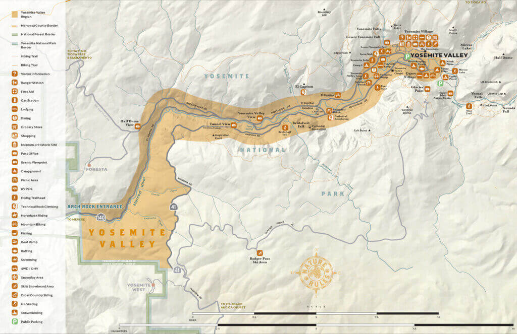
Yosemite Valley
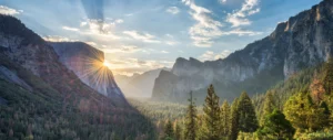
Found in the very heart of Yosemite National Park, Yosemite Valley is a 7.5-mile long stretch of land framed on either side by the iconic landmarks of El Capitan, Half Dome, Bridalveil Fall, Yosemite Falls, Vernal Fall and Nevada Fall. The valley floor could be considered ground zero for all activities around the park and is usually at the top of visitor’s lists of stops.
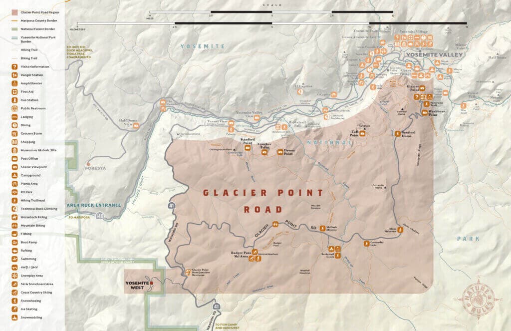
Glacier Point Road
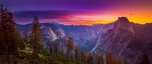
Situated along Glacier Point Road, Glacier Point is an overlook that affords legendary views of Half Dome, Yosemite Falls, Sentinel Dome and the surrounding high country. It’s also a great place for hiking, stargazing, skiing and nature watching. The small community of Yosemite West, close to the intersection of Glacier Point road and Highway 41 offers a variety of vacation rental cabins that keep you close to the action.
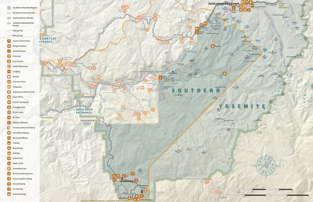
Southern Yosemite
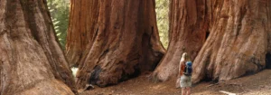
The Mariposa Grove of Giant Sequoias is one of the most majestic sights to behold in all of Yosemite Mariposa County. Nearly 500 sequoia trees tower over the forest floor, with the 2,700-year-old Grizzly Giant serving as king of the trees. Don’t miss the fallen Wawona Tree to get a better sense of how massive these giants really are. Here you’ll also find the historic hamlet of Wawona, which is home to the Wawona Hotel, Yosemite History Center and the Wawona Golf Course.
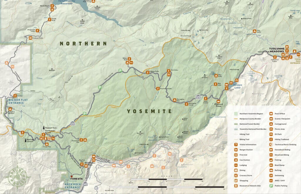
Northern Yosemite
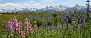
Highway 120 cuts through Yosemite toward Tioga Pass, but not before taking you through the wildflower-clad beauty of Tuolumne Meadows. Best enjoyed in spring and summer (otherwise Tioga Pass is closed), this valley gives easy access to the Tuolumne River, Tenaya Lake and May Lake. Hike, camp and backpack here in the warmest months. Even further north, is Hetch Hetchy and views of the Hetch Hetchy Reservoir, which holds 117 billion gallons of water which is converted into hydroelectric power for the San Francisco Bay Area. Don’t miss the 430-foot tall, 900-foot-wide O’Shaughnessy Dam that is a marvel of engineering unto itself.
Regions of Mariposa County
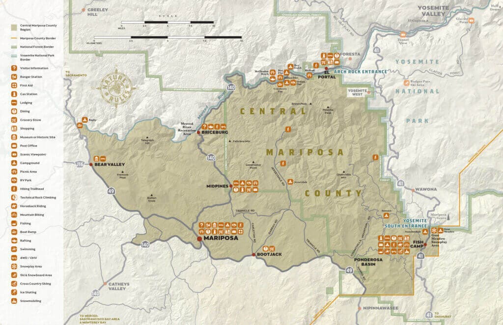
Central Mariposa County
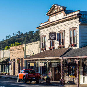
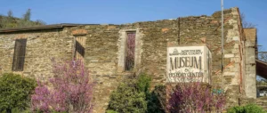
All that glitters in Central Mariposa County probably is gold. Rich in Gold Rush history, this part of the county includes Mariposa, Midpines, El Portal, Fish Camp and other towns not to be missed. Wander the quaint streets of Mariposa for a walk back in time. Here, you’ll find the old jail and courthouse along with the Mariposa Museum & History Center. Small-town charm rules supreme in nearby Midpines and El Portal. Visit the Tenaya Lodge in Fish Camp, close to the South Entrance of Yosemite, then head out for a hike or bike ride. Small-town charm rules supreme in nearby Midpines and El Portal. It’s the perfect way to spend a lazy summer’s day. With the beautiful Merced River and HIghway 140 coursing through it, El Portal is a photographer’s dream any time of year. Stop by Savage’s Trading Post or swing into Hite Cove for some hiking and natural sightseeing. Camp, hike, raft down the Merced … whatever outdoor adventure you can imagine, El Portal has it.
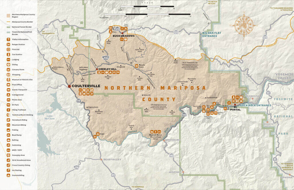
Northern Mariposa County
“Off-beat” is the key word in Northern Mariposa County. Here, you’ll find plenty of history, charm and character in towns like Coulterville, a town with a distinctly bohemian vibe. Coulterville has played host to John Muir, Mark Twain and Teddy Roosevelt, making it a can’t miss for history buffs. Nearby Buck Meadows serves as a gateway to Yosemite’s Big Oak Flat Entrance along with the Hetch Hetchy Valley Entrance. Don’t miss the Stanislaus National Forest, 90,000 acres of crests, lakes, canyons and towering trees.
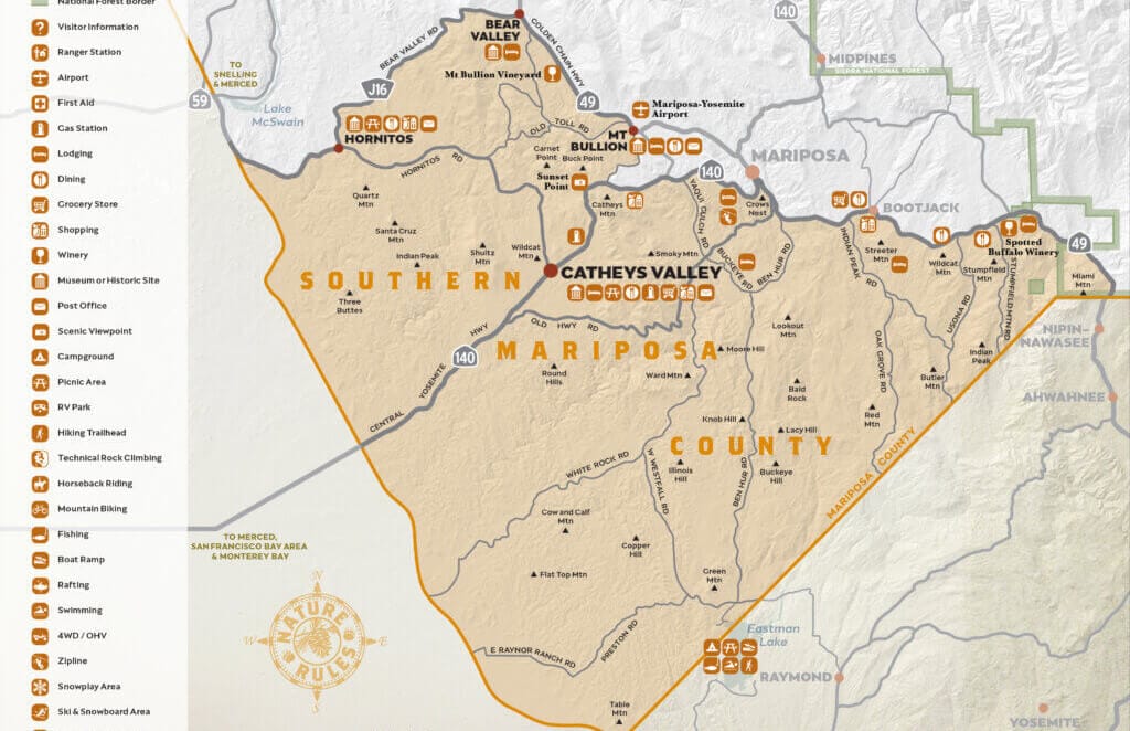
Southern Mariposa County
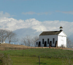
The Central Valley meets the foothills of the Sierra Nevada in this area dotted by farms, ranches and livestock. Catheys Valley boasts Miwuk Indian history and plenty of grazing land. Hornitos, a Gold Rush-era town, once was home to 15,000 residents. Today, you can still see its Masonic Hall, a bar and a Catholic church standing from those times. John C. Fremont’s empire can be explored in nearby Bear Valley in Southern Mariposa County.
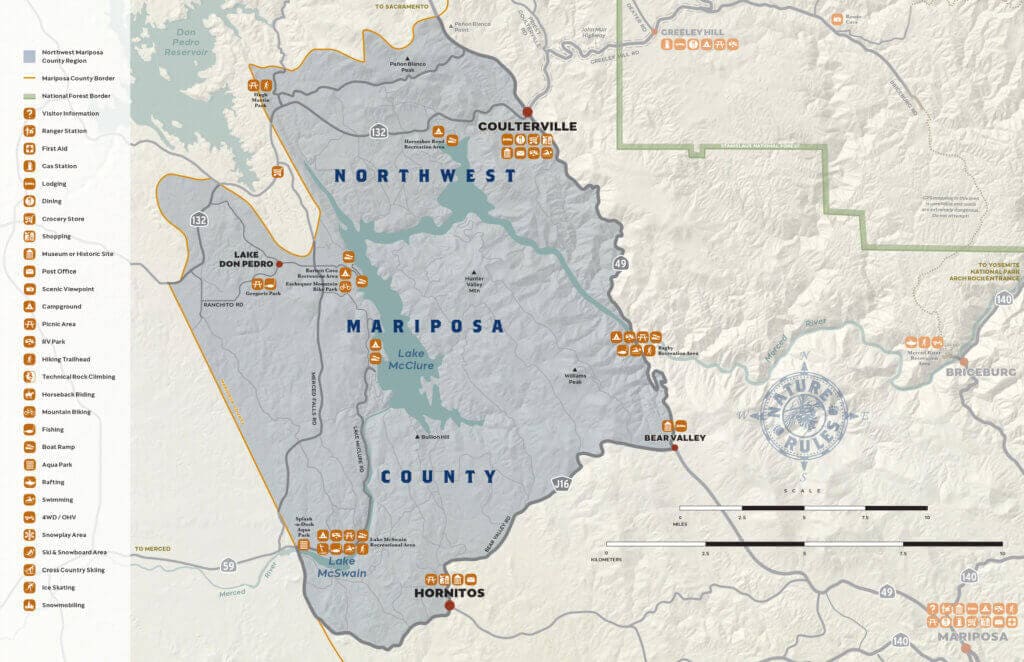
Northwest Mariposa County
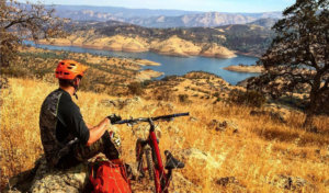
Mariposa County’s northwest corner is foothill, canyon and crag country. The bedrock landscape is marked by ruddy outcroppings and plunging valleys along its highways. Big blue reservoirs here are fed by the Wild & Scenic Merced River and provide ample opportunities for water recreation.
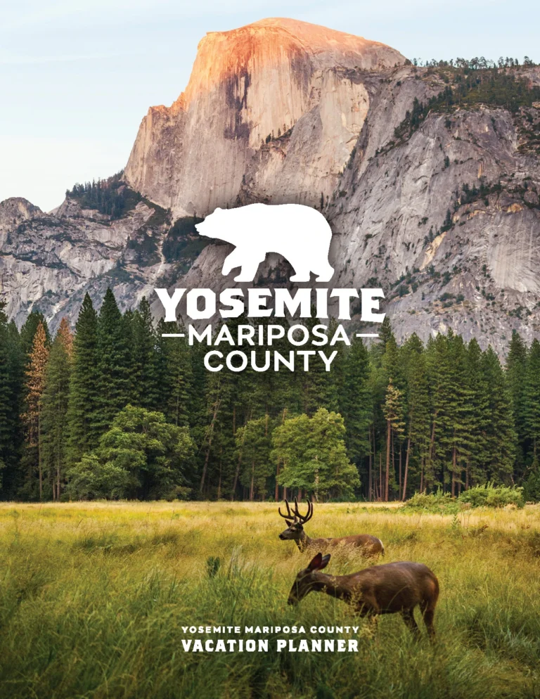
Once you’ve skipped along the surface of Yosemite Mariposa County like a river-polished rock of Sierra granite, take your trip planning tour to the next level with a complimentary copy of the new Yosemite Mariposa County Vacation Planner. Happy trails!


